
 Login
Login
 login / signup



















At its peak, Stow-on-the-Wold’s market square swelled with as many as 20,000 sheep in a single day, turning England’s highest town into a bleating sea of wool and commerce. Drovers herded flocks from as far as Wales to reach this windswept hilltop, drawn by its position where several ancient routes converge, including the Roman Fosse Way that once connected Exeter to Lincoln.
The narrow passageways radiating from the square, known locally as tures, weren’t built for charm, but function. They funneled sheep into pens and helped shepherds count animals as they entered the market, earning names like Sheep Street that persist today. At 800 feet above sea level, the exposure inspired an 18th-century couplet now etched inside St Edward’s Hall: “Stow on the Wold, where the wind blows cold.”
In 1646, those same fields outside town became the setting for the final major battle of the First English Civil War. Parliamentarian forces defeated the last Royalist field army before pursuing soldiers into the streets. Local legend claims the fighting was so bloody it ran through the gutters of Digbeth Street.
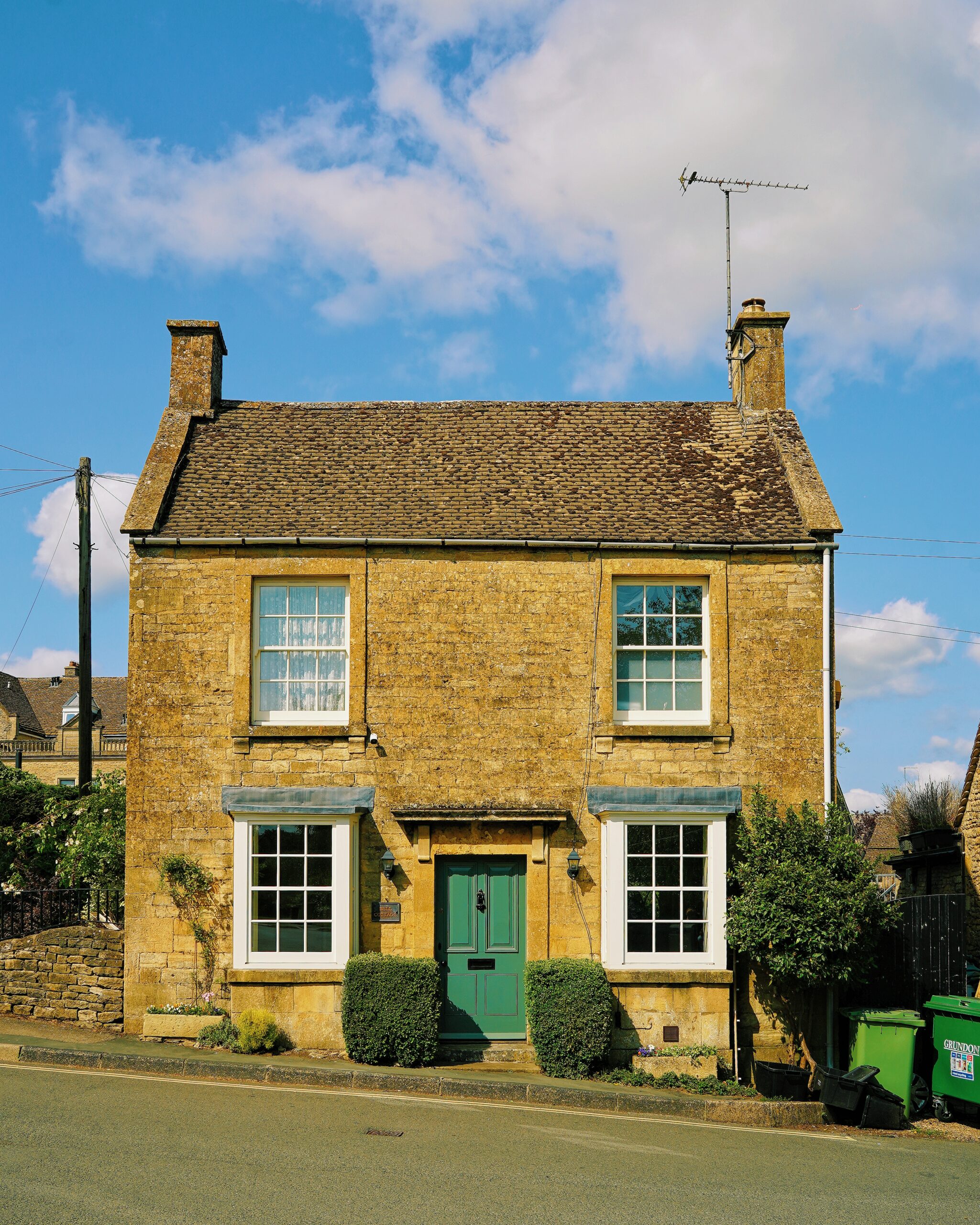
Today, honey-colored houses surround the square where sheep were once bought and soldiers imprisoned. The medieval stocks still stand nearby, a reminder that Stow’s picturesque appearance was shaped by centuries of wind, wool and warfare.
 51.9292531, -1.725027